 Sigena
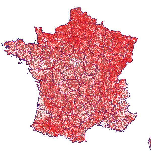
Métropole - Communes avec arrondissements (GEOFLA 2016)
Découpage des communes de métropole, GEOFLA édition 2016
Simple
- Date (Revision)
- 2018-09-10T17:58:06
- Citation identifier
- https://catalogue.atlasante.fr/geonetwork/srv/18572c5d-81f1-42bb-bedc-a8ecba1aa362
- Point of contact
-
Organisation name Individual name Electronic mail address Role IGN
Resource provider
- Theme
-
-
GEOFLA
-
communes
-
- Place
-
-
France
-
- Keyword
-
France
- Type
- Theme
- Date (Publication)
- 2024-05-17
- Keyword
-
France
- Type
- Theme
- Date (Publication)
- 2024-05-17
- Keyword
-
France
- Keyword
-
Zonages administratifs
- Type
- Theme
- Date (Publication)
- 2025-01-17
- Use limitation
-
Base de données soumise aux conditions de la licence ouverte Etalab
- Access constraints
- License
- Use constraints
- License
- Classification
- Unclassified
- Spatial representation type
- Vector
- Denominator
- 1000
- Language
-
fre
- Character set
- UTF8
- Topic category
-
- Boundaries
N
S
E
W
))
- Supplemental Information
-
France Métropolitaine
- OnLine resource
-
Protocol Linkage Name OGC:WFS-1.0.0-http-get-capabilities
https://carto.atlasante.fr/cgi-bin/mapservwfs? ign_metropole_com_arr2016_z
WWW:DOWNLOAD-1.0-http--download
https://catalogue.atlasante.fr/geosource/panierDownloadFrontalParametrage?LAYERIDTS=11756312 Accès au téléchargement des données
WWW:LINK-1.0-http--link
https://catalogue.atlasante.fr/geosource/consultationWMS?IDT=11756312 Accès à la visualisation des données
- Hierarchy level
- Dataset
- Statement
-
Générée chaque année à partir de la BD CARTO®, la base de données GEOFLA® décrit le découpage administratif national (France métropolitaine et DOM).
Metadata
- File identifier
- 18572c5d-81f1-42bb-bedc-a8ecba1aa362 XML
- Metadata language
- Français
- Character set
- UTF8
- Hierarchy level
- Dataset
- Date stamp
- 2019-03-13T22:53:50
- Metadata standard name
-
ISO 19115:2003/19139
- Metadata standard version
-
1.0
- Metadata author
-
Organisation name Individual name Electronic mail address Role AtlaSanté
Point of contact
Overviews
Aperçu
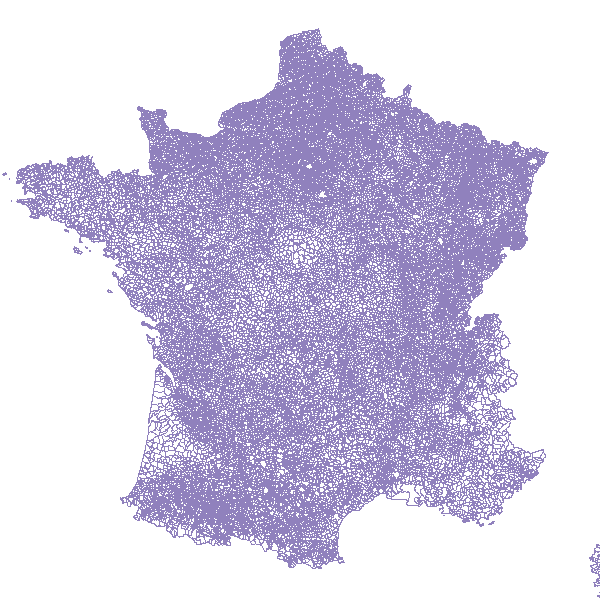
large_thumbnail
Spatial extent
N
S
E
W
Provided by

Associated resources
Not available