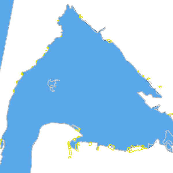
Nouvelle-Aquitaine : TRI du bassin d'arcachon (aléa submersion marine) - Zones homogènes décrivant un type d’activités économiques se situant sur un TRI, Directive inondation.
N_TRI_ARCA_ENJEU_ECO_S_033
Simple
- Date (Revision)
- 2018-12-18T08:45:42
- Date (Revision)
- 2017-09-01
- Date (Publication)
- 2017-09-04
- Edition
-
1
- Citation identifier
- https://catalogue.sigena.fr/geonetwork/srv/89010344-6666-4b64-bd26-d45c34731615
- Point of contact
-
Organisation name Individual name Electronic mail address Role DREAL Nouvelle-Aquitaine
MICAT / Pôle information géographique
Owner
-
Arborescence thématique de la COVADIS
-
-
Risque/Inondation
-
-
GEMET - INSPIRE themes, version 1.0
-
-
Zones à risque naturel
-
- Theme
-
-
basque
-
- Theme
-
-
directive inondation
-
- Theme
-
-
submersion
-
- Theme
-
-
tri
-
- Keywords
-
-
données ouvertes
-
-
Domaines
-
-
Zonages risques naturels
-
Inondation
-
DREAL NA
-
Grand public
-
- Specific usage
-
Contribuer à la connaissance de l'exposition des enjeux utiles à la gestion de crise lors d'inondations, à l’élaboration des Stratégies Locales de Gestion des Risques d'Inondation (SLGRI), à la rédaction des plans de gestion des risques d’inondation (PGRI) par TRI.
User contact info
- Use limitation
-
Licence Ouverte 1.0 http://www.data.gouv.fr/Licence-Ouverte-Open-Licence .
- Use limitation
-
Mention des sources : ©IGN/BDTopo® 2012, DREAL Nouvelle-Aquitaine, DDTM 33
- Use limitation
-
Aucun des articles de la loi ne peut être invoqué pour justifier d'une restriction d'accès public.
- Access constraints
- Other restrictions
- Use constraints
- License
- Other constraints
-
Pas de restriction d'accès public selon INSPIRE
- Spatial representation type
- Vector
- Denominator
- 25000
- Language
- Français
- Character set
- 8859 Part 1
- Topic category
-
- Geoscientific information
- Description
-
ARCACHON
- Geographic identifier
- http://id.insee.fr/geo/commune/33009
))
- Unique resource identifier
- 2154
- Codespace
-
EPSG
- Geometric object type
- Surface
- Distribution format
-
Name Version MapInfo TAB
- Units of distribution
-
Accès aux métadonnées
- OnLine resource
-
Protocol Linkage Name OGC:WMS-1.1.1-http-get-map
https://carto.sigena.fr/cgi-bin/mapserv? n_tri_arca_enjeu_eco_s_033
OGC:WFS-1.0.0-http-get-capabilities
https://carto.sigena.fr/cgi-bin/mapservwfs? n_tri_arca_enjeu_eco_s_033
WWW:LINK-1.0-http--link
https://catalogue.sigena.fr/rss/atomfeed/atomdataset/89010344-6666-4b64-bd26-d45c34731615 Accès au lien ATOM de téléchargement
WWW:DOWNLOAD-1.0-http--download
https://telechargement.sigena.fr/download/89010344-6666-4b64-bd26-d45c34731615 Accès au téléchargement des données
WWW:LINK-1.0-http--link
https://catalogue.sigena.fr/geosource/consultationWMS?IDT=53055066 Accès à la visualisation des données
- Units of distribution
-
Autres ressources en ligne
- OnLine resource
-
Protocol Linkage Name WWW:LINK-1.0-http--link
http://geostandards.developpement-durable.gouv.fr/afficherPageStandard.do?jeu=N_prefixTri_ENJEU_ECO_S Standard de données COVADIS : Table des zones homogènes décrivant un type d’activités économiques se situant sur un TRI.
- Units of distribution
-
Accès aux données
- Units of distribution
-
Accès aux données
- Units of distribution
-
URL de base des services wms/wfs
- Units of distribution
-
URL de base des services wms/wfs
- Hierarchy level
- Dataset
Conformance result
- Date (Publication)
- 2010-11-23
- Explanation
-
See the referenced specification
- Statement
-
Des informations de généalogie détaillées sont fournies dans le rapport accompagnant les cartes et le SIG Directive inondation. Ces informations expliquent les choix faits sur les données et les méthodes de production.
Metadata
- File identifier
- 89010344-6666-4b64-bd26-d45c34731615 XML
- Metadata language
- Français
- Character set
- 8859 Part 1
- Hierarchy level
- Dataset
- Hierarchy level name
-
jeu de données
- Date stamp
- 2021-11-22T09:39:13
- Metadata standard name
-
ISO 19115
- Metadata standard version
-
2003 Cor.1:2006
- Metadata author
-
Organisation name Individual name Electronic mail address Role DREAL Nouvelle-Aquitaine
MICAT / Pôle information géographique
Point of contact
Overviews
Spatial extent
Provided by
