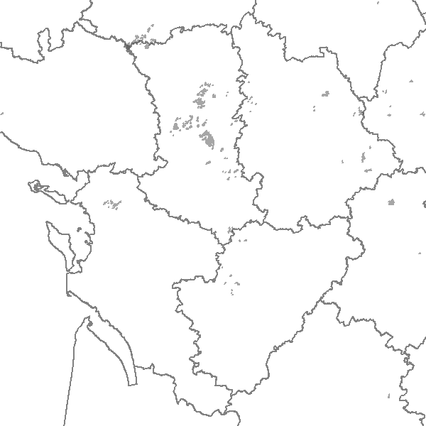
Linéaires de la Mesure AgroEnvironnementale I (MAE I) anonymés pour l'année 2009
Linéaires anonymés agréés élligibles à la mesure agroenvironnementale I (MAE I) pour l'année 2009.
MAE I1 (Biodiversité), I2 (Eau (Qualité et quantité)
Simple
- Date (Publication)
- 2012-04-17T14:51:00
- Citation identifier
- https://catalogue.sigena.fr/geonetwork/srv/94cf69d0-9cd6-4cd3-ba90-dfffa5c08ac4
- Citation identifier
- https://catalogue.sigena.fr/geonetwork/srv/94cf69d0-9cd6-4cd3-ba90-dfffa5c08ac4
- Point of contact
-
Organisation name Individual name Electronic mail address Role DRAAF SRISE
SRISE
User
-
Régions de France
-
-
POITOU-CHARENTE
-
-
GEMET - INSPIRE themes, version 1.0 INSPIRE themes
-
-
Zones de gestion, de restriction ou de réglementation et unités de déclaration
-
- Theme
-
-
Poitou-Charentes
-
- Theme
-
-
INSPIRE
-
- Keyword
-
Agriculture-Environnement
- Keyword
-
DRAAF
- Keyword
-
Zonages agricoles
- Keyword
-
Services Etat
- Type
- Theme
- Date (Publication)
- 2023-06-15
- Keyword
-
Agriculture-Environnement
- Keyword
-
Zonages agricoles
- Keyword
-
Services Etat
- Keyword
-
DRAAF
- Type
- Theme
- Date (Publication)
- 2023-06-15
- Access constraints
- Restricted
- Use constraints
- Copyright
- Classification
- Unclassified
- Spatial representation type
- Vector
- Denominator
- 25000
- Language
-
fre
- Character set
- UTF8
- Topic category
-
- Farming
- Farming
))
- Supplemental Information
-
Pour mémoire:les MAE sont classées de la façon suivante:
A : PHAE Prime Herbagère AgroEnvironnementale
B: MAE rotationnelle
C: SFEI (Système Fourrager Economes en Intrants
D: CAB (conversion biologique)
E: MAB (Maintien de l'Agriculture Biol)
F: PRM (Protection de Races Menacées)
G: PRV (protection végétaux menacés) pas dans la région à la date de mise à jour de cette fiche
H : API (Apiculteurs)
I:
I1 Biodiversité
I2 Eau (Qualité et Quantité)
- Reference system identifier
- EPSG / RGF93 / Lambert-93 (EPSG:2154) / 7.4
- Distribution format
-
Name Version ZIP
- OnLine resource
-
Protocol Linkage Name OGC:WFS-1.0.0-http-get-capabilities
https://carto.sigena.fr/cgi-bin/mapservwfs? LineairesdelaMesureAgroEnviron
WWW:DOWNLOAD-1.0-http--download
https://telechargement.sigena.fr/download/94cf69d0-9cd6-4cd3-ba90-dfffa5c08ac4 Accès au téléchargement des données
WWW:LINK-1.0-http--link
https://catalogue.sigena.fr/geosource/consultationWMS?IDT=5490 Accès à la visualisation des données
- OnLine resource
-
Protocol Linkage Name WWW:LINK-1.0-http--link
https://catalogue.sigena.fr/rss/atomfeed/atomdataset/94cf69d0-9cd6-4cd3-ba90-dfffa5c08ac4 Accès au lien ATOM de téléchargement
- Hierarchy level
- Dataset
- Statement
-
Les données sont produites par des opérateurs
La donnée est numérisée par les opérateurs locaux (Chambre d'agriculture, ADASEA, Parc Régional, ..) et consolidée par l'échelon régional puis par l'Agence de Services et de Paiement
Conformance result
- Date (Publication)
- 2010-11-23
- Explanation
-
-- More information on the test --
Metadata
- File identifier
- 94cf69d0-9cd6-4cd3-ba90-dfffa5c08ac4 XML
- Metadata language
-
fre
- Character set
- UTF8
- Hierarchy level
- Dataset
- Date stamp
- 2018-10-11T10:27:21
- Metadata standard name
-
ISO 19115:2003/19139
- Metadata standard version
-
1.0
- Metadata author
-
Organisation name Individual name Electronic mail address Role DRAAF SRISE
SRISE
User
Overviews
Spatial extent
Provided by
