 Sigena
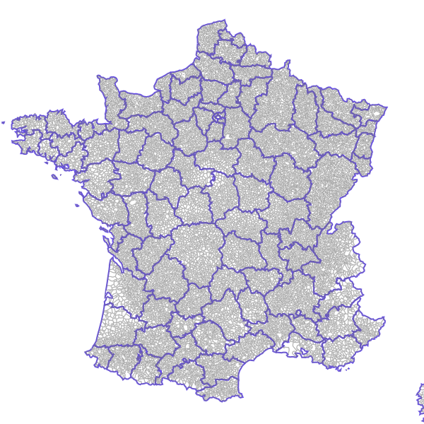
Métropole - Communes avec arrondissements (GEOFLA 2015)
Découpage des communes de métropole avec les arrondissements, GEOFLA édition 2015
Simple
- Date (Revision)
- 2016-01-19T09:27:35
- Date (Publication)
- 2015-01-11T00:00:00
- Date (Creation)
- 2003-12-01T00:00:00
- Citation identifier
- https://catalogue.atlasante.fr/geonetwork/srv/a07e5f35-3ce8-46f6-8663-1aa3e8777556
- Point of contact
-
Organisation name Individual name Electronic mail address Role IGN
Resource provider
- Theme
-
-
GEOFLA
-
communes
-
-
Region
-
-
France
-
-
Domaines
-
-
France
-
-
Domaines
-
-
France
-
Zonages administratifs
-
- Use limitation
-
Base de données soumise aux conditions de la licence ouverte Etalab
- Access constraints
- License
- Use constraints
- License
- Classification
- Unclassified
- Spatial representation type
- Vector
- Denominator
- 1000
- Language
-
fre
- Character set
- UTF8
- Topic category
-
- Boundaries
N
S
E
W
))
- Begin date
- 2003-12-01T00:00:00
- Distribution format
-
Name Version ZIP
- OnLine resource
-
Protocol Linkage Name OGC:WFS-1.0.0-http-get-capabilities
https://carto.atlasante.fr/cgi-bin/mapservwfs? MetropoleCommunesavecarrondiss
WWW:LINK-1.0-http--link
https://catalogue.atlasante.fr/rss/atomfeed/atomdataset/0a6e493d-7894-4e56-b6c9-ecbeda8b57c8 Accès au lien ATOM de téléchargement
WWW:DOWNLOAD-1.0-http--download
https://catalogue.atlasante.fr/geosource/panierDownloadFrontalParametrage?LAYERIDTS=381436 Accès au téléchargement des données
WWW:LINK-1.0-http--link
https://catalogue.atlasante.fr/geosource/consultationWMS?IDT=381436 Accès à la visualisation des données
- Hierarchy level
- Dataset
- Statement
-
Générée chaque année à partir de la BD CARTO®, la base de données GEOFLA® décrit le découpage administratif national (France métropolitaine et DOM).
Metadata
- File identifier
- a07e5f35-3ce8-46f6-8663-1aa3e8777556 XML
- Metadata language
- Français
- Character set
- UTF8
- Hierarchy level
- Dataset
- Date stamp
- 2020-01-09T15:25:44
- Metadata standard name
-
ISO 19115:2003/19139
- Metadata standard version
-
1.0
- Metadata author
-
Organisation name Individual name Electronic mail address Role AtlaSanté
Point of contact
Overviews
large_thumbnail

thumbnail
Spatial extent
N
S
E
W
Provided by

Associated resources
Not available