 Sigena
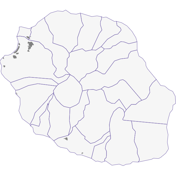
La Réunion - Suivi des cas de dengue par zone
Nombre de cas de dengue par périmètre de démoustication
Simple
- Date (Revision)
- 2018-04-10T12:12:04
- Date (Creation)
- 2018-03-15T15:36:09
- Date (Publication)
- 2018-03-23T23:59:00
- Citation identifier
- https://catalogue.atlasante.fr/geonetwork/srv/ae05c3b4-99dc-4f7d-8871-33da4d086078
- Point of contact
-
Organisation name Individual name Electronic mail address Role ARS Océan Indien
Florence Caliez
Resource provider
- Theme
-
-
Transport
-
-
GEMET - INSPIRE themes, version 1.0
-
-
Santé et sécurité des personnes
-
- Keywords
-
- Keywords
-
- Keywords
-
- Keyword
-
Investigations épidémiologiques
- Type
- Theme
- Date (Publication)
- 2024-01-04
- Use limitation
-
Accès restreint aux agents ARS et partenaires de la Lutte anti-vectorielle et gestion d'épidémie
- Access constraints
- Restricted
- Use constraints
- Restricted
- Classification
- Secret
- User note
-
Données sensibles
- Spatial representation type
- Vector
- Denominator
- 5000
- Language
-
fre
- Character set
- UTF8
- Topic category
-
- Health
- Description
-
La Réunion
N
S
E
W
))
- Supplemental Information
-
Ne pas utiliser pour la navigation aérienne
- Reference system identifier
- EPSG / EPSG 3727 / 7.9
- Distribution format
-
Name Version ESRI Shapefile
1.0
- Hierarchy level
- Dataset
- Statement
-
Données produites par l'ARS Océan Indien
Metadata
- File identifier
- ae05c3b4-99dc-4f7d-8871-33da4d086078 XML
- Metadata language
- Français
- Character set
- UTF8
- Hierarchy level
- Dataset
- Date stamp
- 2018-04-10T12:12:04
- Metadata standard name
-
ISO 19115:2003/19139
- Metadata standard version
-
1.0
- Metadata author
-
Organisation name Individual name Electronic mail address Role Equipe Atlasanté
Elodie Plancque
Point of contact
Overviews
Aperçu

thumbnail
Spatial extent
N
S
E
W
Provided by

Associated resources
Not available