 Sigena
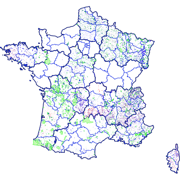
Cart'Eaux - Métropole - Captages d'eau potable et périmètres de protection - Partenaires
Projet cartographique destiné à la consultation des différentes couches cartographiques des périmètres de protection (PPC) par les partenaires extérieurs (partenaires publics et privés). La consultation des DUP associées aux PPC est également possible.
Simple
Identification info
- Date (Publication)
- 2019-08-05T14:30:00
- Citation identifier
- https://catalogue.atlasante.fr/geonetwork/srv/f619c4e1-65e8-4157-b530-7f8b6d8dd162
- Point of contact
-
Organisation name Individual name Electronic mail address Role Direction Générale de la Santé
Point of contact
- Theme
-
-
Périmètre de protection
-
PPC
-
Cart'eaux
-
DUP
-
-
France
-
-
Métropole
-
-
INSPIRE Service taxonomy
-
-
infoMapAccessService
-
-
Domaines
-
-
Eau potable
-
Eau potable (éditable)
-
- Other constraints
-
sécurité publique
- Service Type
- invoke
- Description
-
France
))
- Coupling Type
- Tight
- Contains Operations
-
Operation Name Distributed Computing Platforms Connect Point Accès à la carte interactive
Web services https://catalogue.atlasante.fr/geosource/consultation?id=16125069
- Coupled Resource
-
Operation Name Scoped name Identifier GetCapabilities
Departements 745163ac-32a6-4bbb-b1fe-8b6a89303844
GetCapabilities
Regions ecf8d985-03f9-4dcd-b7a9-8d6edd5e7a3e
GetCapabilities
Projets_de_PPE a2e85b19-4350-4b1d-889c-a1348751c235
GetCapabilities
PPE ce42e88d-3bff-4807-95e6-1a6b626afd37
GetCapabilities
Projets_de_PPR 97cbef50-f762-4741-9b40-1535d55c606c
GetCapabilities
PPR 141fb799-1561-4e58-97c6-3b081bd23e0f
GetCapabilities
Projets_de_PPI 8fdaad12-17da-4e56-b0a1-2e72f12a4567
GetCapabilities
PPI 13ea87e3-58ac-452f-a357-77f6ba387794
GetCapabilities
CartEaux___Metropole___Captages 4d28cca8-fa80-49d7-bee2-8a2326b86f29
GetCapabilities
Communes 2f29f748-8cbb-46f9-a5fe-ff5b9b946c45
GetCapabilities
EPCI cfb7a04a-0920-4fd2-891a-c1907c601c8f
- Reference system identifier
- EPSG / RGF93 / Lambert-93 (EPSG:2154) / 7.9
- Units of distribution
-
liens associés
- OnLine resource
-
Protocol Linkage Name WWW:LINK-1.0-http--link
https://catalogue.atlasante.fr/geosource/consultation?id=16125069 Accès à la carte
- Hierarchy level
- Interactive map
- Statement
-
Ce projet se compose de toutes les données cartographiques régionales PPC françaises.
La géolocalisation des captages a été produites à partir de données GPS récupérées sur le terrain.
Metadata
- File identifier
- f619c4e1-65e8-4157-b530-7f8b6d8dd162 XML
- Metadata language
- Français
- Character set
- UTF8
- Hierarchy level
- Interactive map
- Hierarchy level name
-
service
- Date stamp
- 2025-04-04T12:20:38
- Metadata standard name
-
ISO 19115:2003/19139
- Metadata standard version
-
1.0
- Metadata author
-
Organisation name Individual name Electronic mail address Role Atlasanté
Point of contact
Overviews
Spatial extent
Provided by
